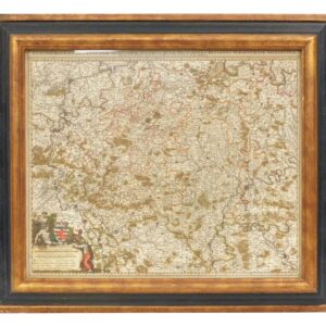
17th/18th C. Created by German cartographer Johann Baptist Homann. Published sometime between 1674-1724. Sight size: 19″ high x 23″ wide. In a carved molded gilt and ebonized frame measuring: 25 1/2″ high x 29 1/2″ wide. Provenance: From the estate of Rodney Hilton Brown. Good condition.